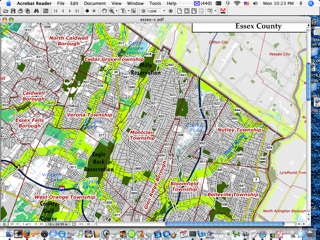
We love maps. We love maps with Greenways even more. Especially maps that show North Jersey counties from a fresh perspective. Garden State Greenway's website currently offers free downloadable county maps in pdf format. Some of the green shaded paths indicate existing Greenway projects. Many others are long term dreams. With YOUR community involvement the dream can become reality:
In order to provide easy access to the Garden State Greenways vision, maps detailing important hubs and their potential connectors were created for each county. To provide context to the user, these maps contain existing open space, municipal boundaries and roads, as well as information for border areas outside the county.
The maps are in .pdf format at a 1:55,000 scale, making them poster-sized for maximum detail. If your interests are not county-wide, you may zoom in and print portions of the map.
Due to the changing nature of New Jersey’s landscape, discrepancies between mapped information and the real world are inevitable. In addition to discrepancies inherent in digital data, open space information can be variably interpreted.
No comments:
Post a Comment